
 The NFRMPO provides Geographic Information Systems (GIS) data for download and uses GIS data in analyses, plans, and documents. Data is collected through local, state, federal, and private sources. To ensure the data is current, the NFRMPO updates its data collection by reaching out to public agencies, using online resources, and creating custom data when needed.
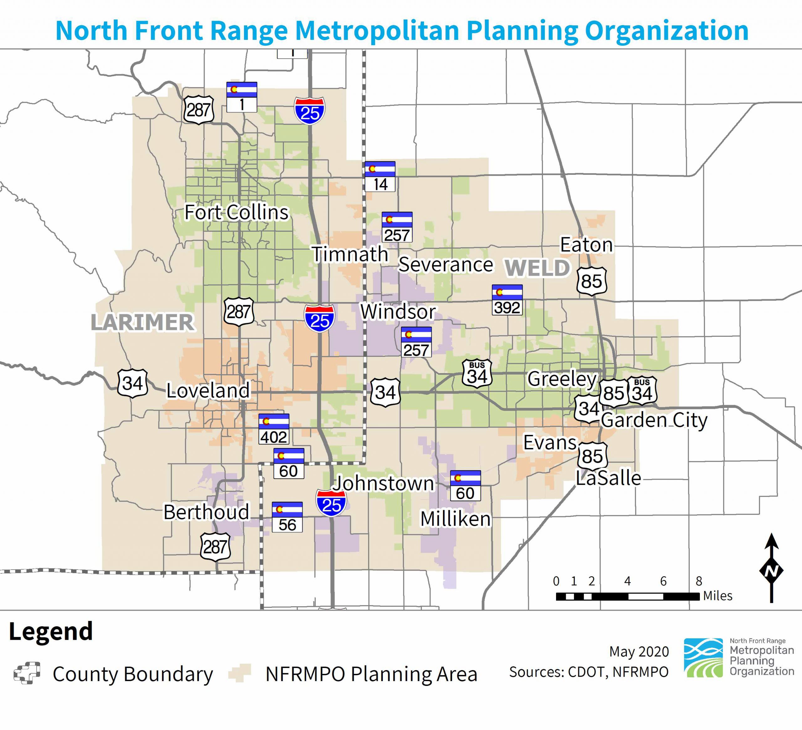
Mapping Services
NFRMPO staff can produce maps for member communities and their consultants. For inquiries, contact Becky Karasko, AICP at bkarasko@nfrmpo.org or (970) 289-8281.
GIS Data Download
The NFRMPO offers a variety of shapefiles for download. To view available data, you must review and affirm the Terms and Conditions. Any questions on the GIS data can be sent Becky Karasko, AICP at bkarasko@nfrmpo.org or (970) 289-8281.
Other GIS Resources
- City of Loveland GIS
- City of Greeley GIS
- City of Fort Collins GIS
- Town of Windsor GIS
- Weld County GIS
- Larimer County GIS
- Colorado Department of Local Affairs GIS
- Colorado Department of Public Health and Environment GIS
- Colorado Department of Transportation GIS
- Colorado Division of Water Resources GIS
- Bureau of Land Management – Colorado
- U.S. Fish and Wildlife Service GIS